4 Participant Maps
January Workshops
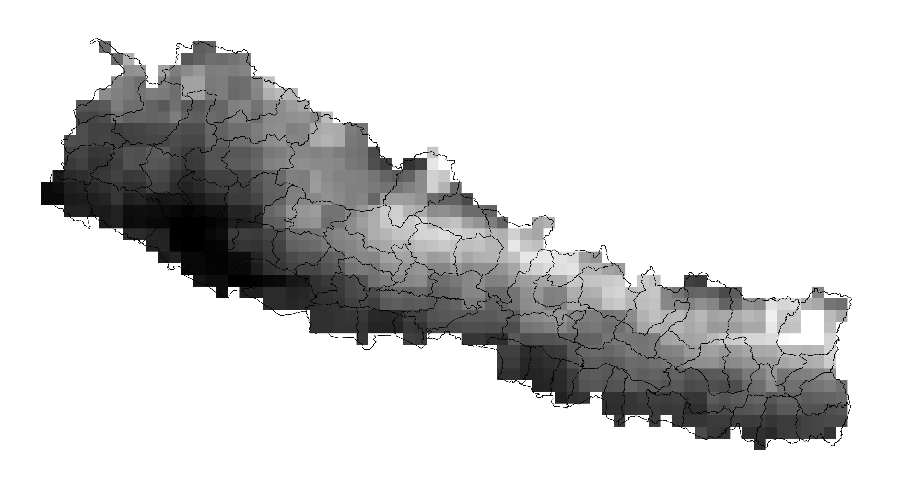
Geotiffs that have been exported and can now be imported into any mapping software as demonstrated by Bishwabandu Acharya who looked at extreme rainfall event.
Sushil Ojha considered the number of days when the coldest temperature was below 5^{o}C and was also able to export his data for use in other mapping soft
September Workshops
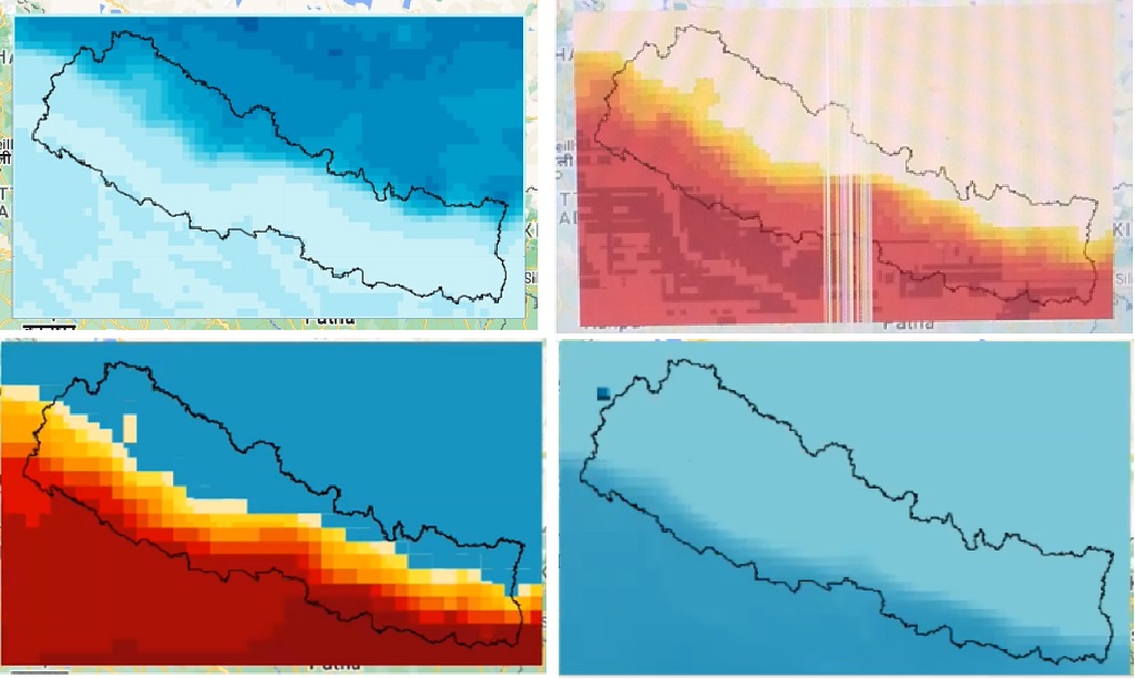
Participants created their own maps with the climate data.
Map within Google Earth Engine by Keshav Dubedi (top left), Lalita Joshi (top right), Damber Bista (bottom left), and Abash Paudel (bottom right).

Geotiffs that have been exported and can now be imported into any mapping software as demonstrated by Bipin Bhattarai.
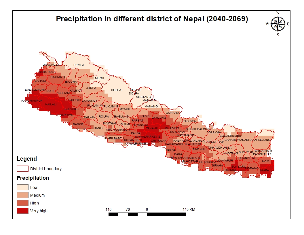
Arbin Poudel applied his previous experience with GIS to clip his geotiff to Nepal.

Suraj Bist applied his previous experience with GIS to enhance his final map.
